The Geospatial Revolution
In the vast expanse of human knowledge, there are intricate webs that converge, forming a tapestry of insight into our world and beyond. One such web, woven with data points and coordinates, has significantly impacted how we interact with and understand our environment—the Geographical Information System, commonly known as GIS. Prevalent across diverse industries, from ecology to urban development, GIS stands as an emancipator, liberating geographical data from obscurity. For professionals and aspiring minds within the realms of spatial analysis and data visualization, your quest begins here, unraveling the enthralling history and far-reaching future of GIS technology.
A Cartographer’s Dream Realized in Code
GIS is a tool of magnificence, one that harnesses various data sets and their geographic implications. It is a system that knows no geographic bounds. Spatial data, weaved into GIS, grants us the power to analyze patterns, model scenarios, and interpret landscapes with an eye only a digital geographer could possess. But when did this revolutionary technology come to life?

The Birth of Spatial Analysis
The roots of GIS can be traced back to the 1960s and 70s, with the birth of pioneering projects like Canada’s Geographic Information System (CGIS) and the development of the Environmental Systems Research Institute’s (ESRI) ArcInfo—a forerunner in commercial GIS software. These early incarnations laid the groundwork for a discipline that would shape the way we look at space, equipping us with a digital compass to guide us through the analytics of the Earth itself.
Cartography Redefined
No longer tethered to hand-drawn maps and the cumbersome lay of their legends, GIS flung open the doors to a new era of cartography. Computerized mapping became an achievable dream rather than a fantastical notion, as these analytical maps could now be adjusted, copied, scaled, and embellished with various datasets, offering a potent mix of visual clarity and data richness to anyone who laid eyes upon them.

Navigating the Terrain of Modern GIS
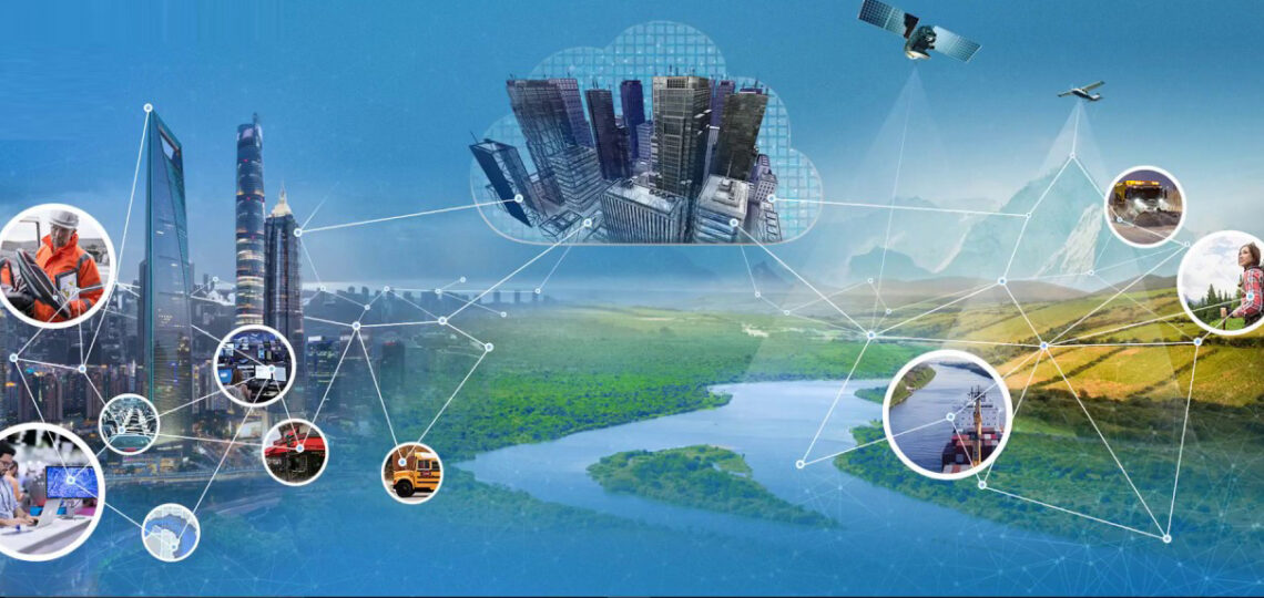
Fast forward to today, where GIS has infiltrated the core of countless operations, spanning across public and private sectors alike. If we take a glance at the vast landscape where GIS has been deployed, we witness a technology at its zenith.
For More About GIS T : What is GIS T? | cdc.gov
The Ecosystem of GIS Applications
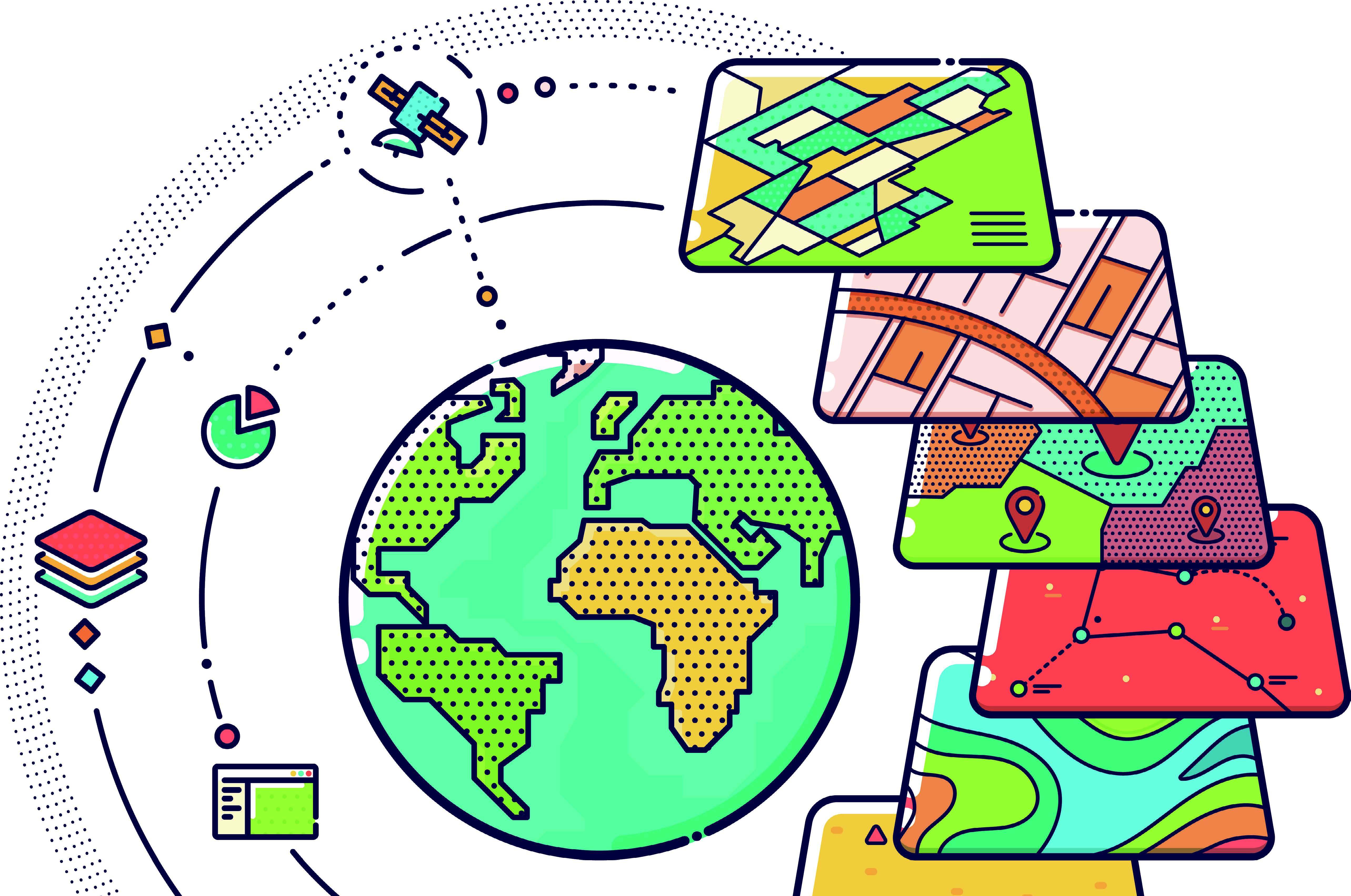
Environmental analysis and ecological modeling have been profoundly influenced by GIS. By layering data concerning climate, topography, and organisms, we paint a clearer picture of ecosystems, thus enabling more informed decisions regarding conservation and resource management.
In urban planning, GIS aids in the construction of smarter cities, optimizing layouts, and projecting future developments. The technology has also found its place in disaster management, playing a pivotal role in preparedness, response coordination, and recovery evaluations, where every moment’s delay could amplify devastating outcomes.
Industry Integrations and Transformations
Industries are metamorphosing through the rigorous application of geospatial intelligence. Take retail, for example, where GIS analytics help retail chains optimize their market presence through site selection and demographic profiling. In telecommunications, network planning leans on GIS to guarantee the best coverage and adequate infrastructure.

Forecasting the GIS Climate of Tomorrow
The future of GIS is akin to a landscape under perpetual seismic activity; it is constantly reshaped by technological advances and the evolving needs of a planet navigating the specter of climate change, among other geopolitical challenges.
Emerging on the Digital Horizon
With each passing year, new technologies such as augmented reality (AR) and the Internet of Things (IoT) are finding synergy with GIS, expanding its capabilities beyond traditional boundaries. AR can fuse real-life imagery with data overlays, offering a compelling and immersive experience that enriches visualizations, while IoT ushers in a torrent of real-time data that GIS can swiftly compartmentalize and utilize.
Forecasting a High-Definition GIS Future
As GIS grows more specialized, high-definition mapping could redefine what it means to ‘know’ a locale. Drones and aerial mapping techniques will provide ‘boots-off-the-ground’ perspectives, integrating high-resolution imagery into GIS systems, thereby creating and utilizing maps with a degree of detail and accuracy that previous generations could only marvel at.
The Geospatial Career Path: Forging Pathways in a GIS World
For those captivated by GIS’s tale thus far, a career beckons at the crossroads of technology and geography. What are the steps aspiring GIS professionals should take to stride confidently into this field?
Education and Skill Set Navigation
A solid educational foundation in geography, environmental science, or a related field is just the beginning. To flourish in the GIS realm, command over cartography, database management, statistical analysis, and programming languages, such as Python or R, are requisite tools in one’s arsenal.
Navigating a Route Through the Employment Landscape
Employment prospects in GIS are as robust as the technology’s applications. From government agencies to non-profits, and from tech start-ups to Fortune 500 companies, there is a demand for GIS proficiency. Positions could range from GIS analyst to developer, each role serving as a vital cog in a well-oiled geospatial engine.
Plotting the Next Coordinates in Your GIS T Journey
Our digital cartography takes us through the annals of GIS, highlighting its influence and promising future. For those in pursuit of a GIS career, every step you take today fuels the engines of progress for tomorrow.
In conclusion, GIS technology stands as a beacon of innovation and elucidation, challenging us to reconceptualize our world in spatial terms, and in so doing, propelling us towards a more coherent understanding of the planet we inhabit.
For the intrepid explorers among us, the time to enroll in the GIS T academy, to sharpen your skills, to join the GIS T frontier, is now. The coordinates of your professional destiny await—engage with GIS, and chart the course for your future.
Check this out For More About Ecology: The Tapestry of US Ecology: Understanding and Nurturing 2024!!
Conclusion
As the narrative of GIS continues to unfold, it stands as a profound testament to human ingenuity and technological advancement. Bridging disciplines and industries, it offers a toolset indispensable for understanding and shaping the future of our planet. In harnessing the power of GIS T, we are not merely mapping the world but actively participating in its stewardship and transformation. The call to action is clear: to aspire, to learn, and to innovate within this dynamic field is to contribute to a legacy that will define generations to come.
Frequently Asked Questions (FAQs)
What is GIS T?
Geographic Information System (GIS) is a framework for gathering, managing, and analyzing data rooted in the science of geography. GIS integrates many types of data and helps users visualize, question, analyze, and interpret patterns and relationships in spatial or geographic contexts.

How does GIS T benefit urban planning?
In urban planning, GIS enables planners to analyze the urban fabric to make informed decisions on land use, infrastructure placement, and city expansion. It facilitates optimized layouts and projections for future developments, ensuring sustainable and efficient urban growth.
Can GIS T aid in disaster management?
Yes, GIS plays a crucial role in disaster management by enhancing the preparedness and coordination of response efforts. It allows for the mapping of hazard zones, planning evacuation routes, and assessing the damage post-disaster, thereby aiding recovery and relief operations.
How are industries like retail and telecommunications utilizing GIS T?
In the retail industry, GIS is used for site selection and demographic profiling, helping businesses target their market presence more effectively. Telecommunications leverage GIS for network planning, ensuring optimal coverage and infrastructure based on geographic data analysis.
What technological advancements are shaping the future of GIS T?
Technologies such as augmented reality (AR) and the Internet of Things (IoT) are increasingly integrated with GIS, expanding its applications. AR enhances data visualization by overlaying digital information on real-world images, whereas IoT contributes vast amounts of real-time data for spatial analysis.
What does the future hold for high-definition GIS T mapping?
High-definition GIS mapping, empowered by drones and aerial survey techniques, is set to redefine spatial knowledge with unparalleled detail and accuracy. This advancement will allow for more precise mapping, offering insights into environmental changes, urban development, and resource management.
How can one start a career in GIS T?
A career in GIS begins with a solid educational background in geography, environmental science, or related fields. Proficiency in cartography, database management, statistical analysis, and programming languages such as Python or R is essential. Gaining practical experience through internships and project work is also highly recommended.
What are the job prospects in GIS T?
The demand for GIS professionals is strong across various sectors, including government agencies, non-profits, tech startups, and large corporations. Careers can vary from GIS analysts and developers to project managers, each playing a key role in harnessing geospatial data for decision-making and strategic planning.
How does GIS T contribute to environmental conservation?
GIS supports environmental conservation by providing tools for ecological modeling and analysis. By layering data on climate, topography, and biological organisms, it enables more informed decisions regarding ecosystem management, habitat preservation, and resource conservation.
Why is now the right time to join the GIS T industry?
The GIS industry is at an inflection point, with emerging technologies expanding its potential like never before. There’s a growing recognition of GIS’s value in addressing global challenges such as climate change, urbanization, and disaster resilience. Entering the GIS field now offers the opportunity to be at the forefront of technology that is shaping a sustainable future.


1 thought on “The Geospatial Revolution: GIS Technology’s Past, Present, and Future 2024”
Pingback: Frost Quakes Explained: 7 Key Facts You Should Know